Remote spatial analysis lacking ethnographic grounding mischaracterizes sustainability of Indigenous burning regime
Palabras clave:
Spatial analysis, fire management, fire regimes, Indigenous fire use, cerradoResumen
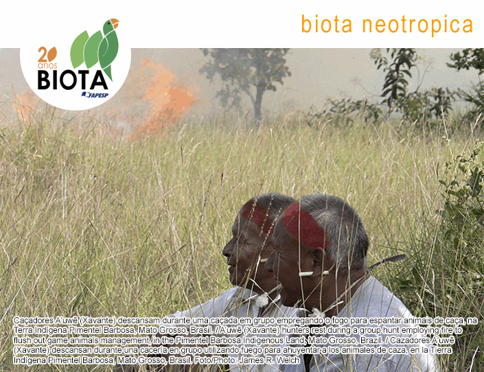
Abstract: Scientific research that purports to evaluate Indigenous fire regimes in the absence of ethnographically contextualized ecological data runs the risk of exacerbating the fire blame game and providing evidence to support distorted narratives advanced by anti-Indigenous advocates. Spatial analysis of fire scars in Indigenous territories can be an effective tool for characterizing cultural fire regimes in terms of distribution and frequency, especially when qualified by linkages to different local ecosystems. A recently published article drew on fire scar mapping from satellite imagery to assess anthropogenic fire distribution and frequency in the Pimentel Barbosa Indigenous Land, Central Brazil. The authors use their findings to characterize A'uwẽ (Xavante) use of fire as unmanaged and a model of unsustainable use of cerrado resources. In this article, we discuss Aguiar & Martins's recent paper in light of our long-term research on A'uwẽ hunting with fire in the Pimentel Barbosa Indigenous Land, arguing that A'uwẽ hunters do burn according to established cultural protocols, manage their use of fire for conservationist purposes, and do not cause environmental degradation by burning.Descargas
Publicado
01/01/2022
Cómo citar
Welch, J. R., Brondizio, E. S., & Coimbra Jr., C. E. A. (2022). Remote spatial analysis lacking ethnographic grounding mischaracterizes sustainability of Indigenous burning regime. Biota Neotropica, 22(1). Recuperado a partir de https://www.biotaneotropica.org.br/BN/article/view/1877
Número
Sección
Puntos de Vista
Licencia
Derechos de autor 2021 Biota Neotropica

Esta obra está bajo una licencia internacional Creative Commons Atribución-NoComercial 4.0.
